


Weekly Weather Watch: Monday, December 4th, 2023
‘Tis the SEA-son: Winter is when El Niño and La Niña conditions typically peak. This current El Niño event gained some strength in the SEA surface conditions during November, now 3rd strongest among events since 1980; however, the atmosphere is far less excited about it. The impact of El Niño will continue through this winter, and we will see more of its influence this month. The December weather outlook was published on the 1st for members.
For this week, a warm-before-the-storm. Many of us will warm up during the workweek before a system crosses the country by the weekend. Record-setting temperatures are shown here before a trough swings through in a few days to cool us off.

This next system should be watched closely for travel impacts, especially for those in the Rocky Mountain region late week or those headed East next weekend. You’ll see the weather areas in the animation below, a forecast radar product going through the weekend.

From that system, we have water - lots of water. Total precipitation is shown here, with several inches for the Northwest and healthy totals for the East, too.


Part of that total precipitation will be in the form of snow. For parts of the West, it has been a late show for snow, and basins here are well below average, so added snowfall will be nice.

Bottom-line: This week will have its most active weather for the Northwest and East, but the Rockies need to be watching a system for late week and weekend, slight changes to its path may increase snowfall impact on areas from Cheyenne, Wyoming to Amarillo, Texas. Colorado peeps, details for the state, Denver, and Colorado Springs from my partners at Weather5280.
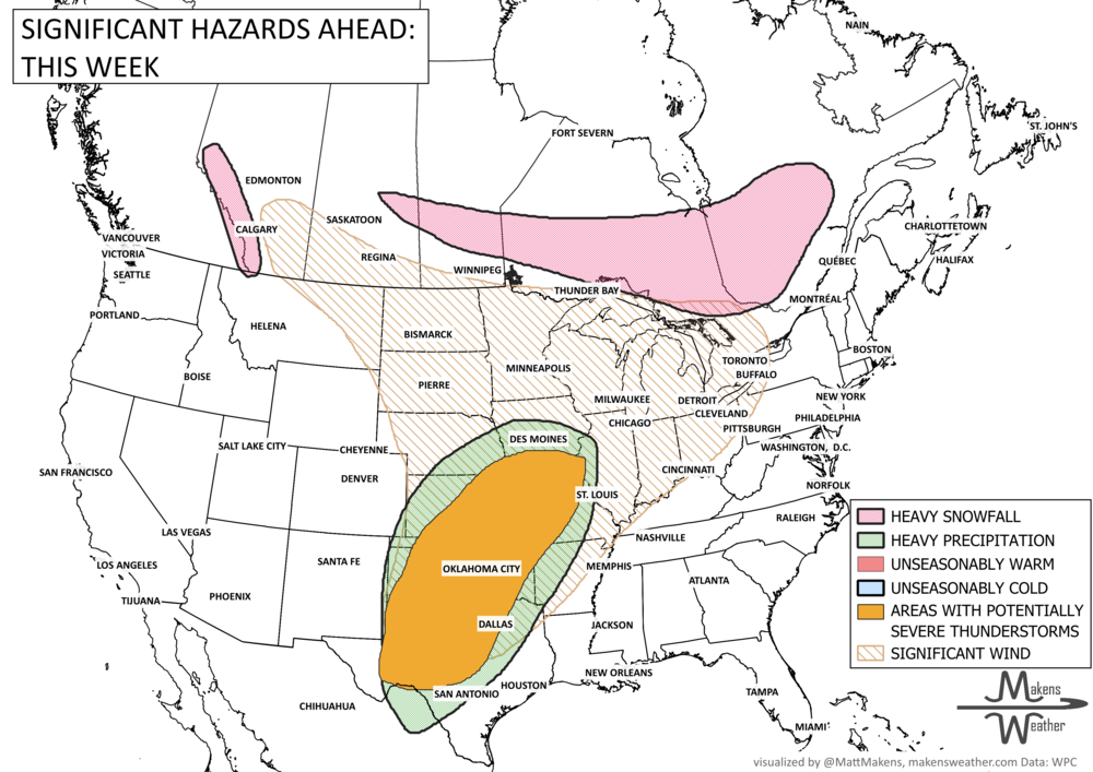
A slow-moving frontal boundary will keep Florida unsettled with periods of heavy rain and thunderstorms through midweek, raising localized flooding concerns—especially along the east coast. At the same time, drier air and gusty winds will elevate fire weather risks across parts of the Southeast, particularly from the Florida Panhandle into Georgia. Elsewhere, an active spring pattern continues with storm chances building across the Central Plains, while a strong Kona Low brings widespread impacts to Hawaii through the weekend. Cooler air lingers across the northern U.S. before a gradual warming trend develops late week into the weekend.